The establishment of the Regional Council (Gemeenteraad) for Semarang.
- Jan 12, 2023
- 2 min read
Updated: Oct 22, 2023
1906

Members of Semarang City Council (Gemeenteraad)
Source: KITLV, ca.1927

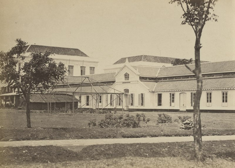
Gemeentehuis at Bodjong Street or Jl. Pemuda (now known as Semarang City Hall Office)
Source: KITVL, ca.1927
According to the Gouvernementsbesluit of February 21, 1906, No. 120, Semarang, which had previously served as the seat of an afdeling, a regency, and the Semarang Karesidenan, was promoted to the status of a Gemeente, or self-governing city, with its territory. There are 23 people in Semarang's Gemeenteraad (Regional Council), including 15 Europeans, 5 Inlanders, and 3 Foreign Orientals. Following the publication of Staatsblad 1917 No. 587, there were now 27 members of the Gemeenteraad, consisting of 15 Europeans, 8 Inlanders, and 4 Foreign Orientals.
Related events:
1906 - The Dutch Government implemented ethical politics, which consisted of granting autonomy to their own territory (regulated in Decentralisatie-Besluit; Staatsblad 1905 no.137), one of which was Semarang. On 1 April 1906, Semarang was officially granted autonomy and became a Gemeente or municipality in Staatsblad 1906 no. 128.
At the early period of the Semarang Gementee government, there was no burgeemester or mayor and the executor of the gementee government was the gemeentraad or City Council, so the Semarang Gementee was chaired by the hoofd van plaatselijke bestuur or the head of the local government led by L.R. Priester.
Since the establishment of the Gemeente Semarang in 1906, not only has Semarang gained autonomy as a Gemeente, but each village or kampong has gained autonomy to manage its own household. The autonomy in the village level is called De Indische Gemeente Ordonantie (IGO). The autonomy of the village or kampong government was strengthened with the enactment of Regeeringsreglement article 71, which stated that the gemeente government could not interfere in the household affairs of the villages within its jurisdiction.
1916-1917 - After 1916, Semarang Gemeente was then led by a burgeemester or mayor. The first mayor of Semarang Municipality was Ir. D. De Jongh.
Regarding the territorial borders of Gemeente Semarang at the beginning of its formation, it was only mentioned that the eastern region was the oosterbandjirkanaal or now known as the Banjir Kanal Timur (East Flood Canal) while the western region was the westerbanjirkanaal or now known as the Banjir Kanal Barat (West Flood Canal). After 1906, the territorial borders of the Semarang Gementee were regulated by a decree of the City Council dated 15 May 1917 No. 10/R. The regulation stated that the territorial borders of the Semarang Gementee area were as follows:
The northern border; the coastline of the Java Sea and to the southeast is the edge of the end of the East Flood Canal to the western border of the intersection with Kali Banteng
The western border is the Krapyak area, which is the Banteng River and Kreo River up to the confluence of the Garang River and the western border of Karangrejo Village, Tinjomojo Village and the end of Srondol Kulon Village.
Southern border; Srondol Kulon village and Srondol Wetan village.
Eastern border; Pedurungan area which includes Ngesrep village, Djangli village, and Kedungmundu village 4.

Comments